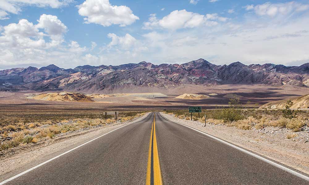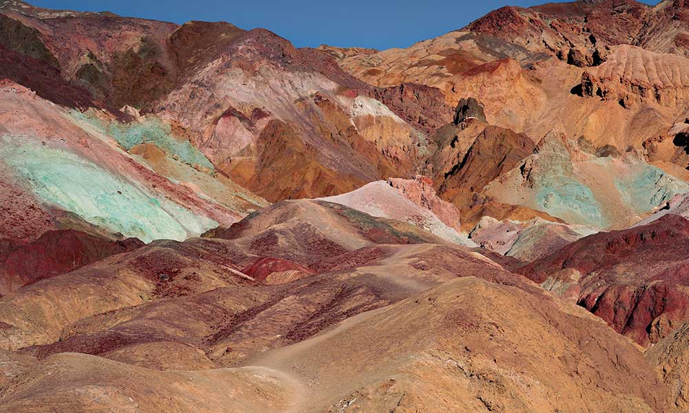
North Carolina is known as one of the most naturally diverse states in the United States of America, with both beaches and mountains extended far into both the East and West. So what makes hiking in North Carolina so appealing?
North Carolina is unique in that its sports a variety of biomes that appeal to hikers of all experience and fitness levels. Consequently, hikers can start their hiking journey with short, flat walks to challenging multiple day-long treks through steep mountainous areas, all within one state!
As the 28th biggest state in the United States of America, with vast open spaces, North Carolina has literally hundreds of world-class hiking trails to explore. Therefore, the following locations are just a snippet of what the state has to offer for keen hikers:
1. Green River Cove Trail
The Green River Cove trail follows the highest railroad track in the United States, East of the Rocky Mountains.
The trail follows both this abandoned railroad and a river for upwards of six miles through the Western North Carolina Wilderness.
Although a moderately challenging hike for its short distance, due to elevations of approximately 1000 feet, these climbs offer sweeping views of the wilderness and roaring rivers, with plenty of shallow pools to cool off along the way!
- Length: 6.5 miles,
- Elevation: 1 040 feet,
- Difficulty: Easy to moderate.
2. Looking Glass Rock
Situated in the Pisgah National Forest, Looking Glass Rock is an all-seasons hike, particularly in the winter months despite the cold mountain air.
Known for its scenic views of the Appalachian Mountains, Looking Glass Rock follows a cascading creek, up switchbacks, and past fields of wildflowers.
Although the initial climb includes requires an elevation of upwards of 2000 feet for approximately three miles, the views from the top at the rescue helipad make it all worth it.
From the helipad, you have the option of a short trail for views of the lower cliffs, or you can opt for further elevation toward the summit and onwards to the Upper Looking Glass Cliffs.
Just be wary of the edge while hiking past the summit and maintain a safe following distance while also taking the time to rest and appreciate the views.
- Length: 6.1 miles
- Elevation: 2 000 feet
- Difficulty: Moderate
3. Rainbow Falls
Situated at Gorges State Park and named after the rainbow colors that appear in the area after the combination of sunlight and mist caused by the 150-foot drop of water from the top of the waterfall, Rainbow Falls is a perfect day out for any keen hiker!
Fed by the Horsepasture River, Rainbow Falls is considered one of the most scenic waterfalls in North Carolina’s the Blue Ridge Mountains.
While the trail itself is relatively short, at only four miles, the real appeal of hiking in this area is to take the time to go off the beaten path and explore the surrounding area.
Some of the notable sites are Turtleback Falls, just 0.3 miles upriver along the trail, while a further 0.5-mile walk past Turtleback Falls will see you arrive at an 80-foot slide known as Drift Falls.
- Length: 4 miles (plus 0.8 miles for Turtleback Falls and Drift Falls)
- Elevation: 770 feet
- Difficulty: Easy to Moderate
4. Paradise Falls
From one iconic waterfall to another, Paradise Falls is situated in the Southeast of Northern Carolina at Tuckasegee among one of the narrow and winding ravines of Wolf Creek Lake.
Although the hike itself is very short and can be completed in less than an hour, the appeal of Paradise Falls is its swimming spots on both the top and bottom of the falls; they can be enjoyed throughout the summer months.
However, don’t let the short distance fool you, as you will still need to be hiking fit and equipped with proper hiking boots in order to traverse some of the steep ascents and tumbling rocks without risking injury.
Furthermore, the surrounding areas around the waterfall and river house many secrets just begging to be discovered, including some well-hidden geocaches.
More adventurous hikers can also opt to partake in some cliff jumping across sites around the waterfall and river; just make sure to swim the waters in advance to make sure they are deep enough before doing so!
- Length: 0.5 miles
- Elevation: 216 feet
- Difficulty: Easy
5. Old Mitchell Trail
Situated at the aptly named Mount Mitchell State Park, this strenuous hike leads hikers to the highest peak east of the Mississippi River through an Appalachian alpine forest.
While this hike can be completed in a day, make sure to adequately prepare for this hike by equipping yourself with sturdy hiking boots, packing trail snack/lunch, and bringing a waterproof jacket in the event of rain and temperature drops.
It is also recommended that you acquaint yourself with the trail and its conditions in advance at one of Mount Mitchell State Park’s visitor’s centers, as slick rocks and misty conditions have been known to regularly occur on the hiking trail.
Along the way, expect to traverse miles of switchback trail while trudging through the occasional stream.
Fortunately, manmade sites along the trail, such as an observation point, museum, and snack stand, all help ease the burden and add variety to the hike along your journey.
For an even greater challenge and diverse scenery, keen hikers can partake in an extra three-mile loop through the Deep Gap trail toward Mount Craig.
- Length: 11.1 miles (plus 3 miles if you continue onto the Deep Gap trail)
- Elevation: 3 710 feet
- Difficulty: Hard
6. Craggy Pinnacle Trail
Situated in Blue Ridge Parkway, the Craggy Pinnacle Trail is an easy hike with minimal elevation, making it perfect for beginner hikers.
Despite its short length, the Craggy Pinnacle Trail offers some of the best scenery in North Carolina, with the trail being particularly popular in spring when the wildflowers of deep purple and magenta contrast with the emerald greens of the Blue Ridge Mountains.
Along the trail, you will find three lookout points, all of which offer 360-degree views of the surrounding mountain range and the watershed lake below. Making these lookout points a perfect picnic site for the whole family!
Finally, at only 30 minutes away from the nearby town of Asheville and the surrounding Pisgah National Forest, this trail can be easily accessed from an urban adventure or a camping getaway in the forest.
- Length: 1 mile
- Elevation: 285 feet
- Difficulty: Easy
7. Profile Trail
Situated at Grandfather Mountain State Park, the Profile Trail is a challenging hike that leads hikers to the summit of Calloway Peak, with an elevation of approximately 2 300 feet over 6.3 miles.
Due to its challenging elevation, the trail, which runs from the famed mile-high swinging bridge at the back of the mountain toward its summit, is a fantastic way to escape some of the crowds that are known to congregate at Grandfather Mountain State Park.
Beginning with shaded forest along the Watauga River, the trail quickly begins its ascent through the switchbacks along the backside of the mountain.
Approximately two miles into the hike, you will pass the Profile Campsite and spring, where you should stop to rest and gather water before beginning the very steep ascent just before reaching a wooden ladder for the final ascent.
Although this steep ascent is the toughest part of the hike, it only lasts for 0.4 miles. During this ascent, hiking poles are recommended, as it is easy to lose one’s footing, especially if there has been rain or moisture in the area.
Once you reach the summit (that being the tallest of the four summits in the Grandfather Mountain area), you will be treated to 360-degree views looking down on the surrounding area while also having large, flat rocks to take a break before beginning your descent.
- Length: 6.2 miles
- Elevation: 2 300 feet
- Difficulty: Hard
8. Grassy Ridge Bald
Situated in the Roan Highlands, this unique grassy section of the Appalachian Mountains begins at the Appalachian Trail, on the border between North Carolina and Tennessee.
Beginning at Carver’s Gap with an elevation of 5 500 feet, the hike North through Appalachian Trail and into Roan Mountain Balds can be challenging due to the slight elevation and the rockiness of the terrain through the forest.
At about two miles into the Appalachian Trail, you will enter a connection toward Grassy Ridge Bald.
Make sure to look out for this connection as indicated blue blaze; this indicates an offshoot from the Appalachian Trail, while a white blaze indicates the trail is continuing.
Grassy Ridge Bald itself is ideal for camping, so this is an ideal spot should you wish to stop off and camp prior to returning to the Appalachian Trail. Just make sure to bring windproof equipment, as this flat grassy area at 6 200 feet is very exposed!
- Length: 4.8 miles
- Elevation: 933 feet
- Difficulty: Moderate
9. Lower Cascade Trail
Situated in the Hanging Rock State Park, this easy out and back trail is one of many hikes available in the park; however, the highlight of this hike is the destination, a 3-foot waterfall with an accompanying swimming hole.
Beginning with a gravel and dirt trail, followed by steps made of wood and stone, this hike encourages hikers to take their time and appreciate the scenery of pines, hardwood, rugged boulders, and wildlife spottings such as deer and turkey.
Located in a gorge surrounded by stone walls, these falls are perfect for hot summer days away sheltered away from the wind and blazing sunlight.
- Length: 4.8 miles
- Elevation: 933 feet
- Difficulty: Moderate
10. Hemphill Bald
Situated in the Great Smoky Mountains National Park, Hemphill Bald (smokiness not included) has one of the most difficult trials on this list that awards seasoned hikers with sweeping vistas at the top of their ascent.
The trail is a winding 13.5-mile hike that climbs over 1 600 feet above the Great Smoky Mountains National Park, with elk sightings being reported all year round.
Fortunately, the trail isn’t all elevation, beginning with a gradual climb through the tree line of Hemphill Bald and lush flat grass and wildflowers at the top of the summit, making it a perfect spot to rest before beginning the descent into a shady forest onward to Polls Gap.
- Length: 17.1 miles
- Elevation: 3 400 feet
- Difficulty: Hard
11. Clingmans Dome
Turning once more to the Great Smoky Mountains National Park, Clingmans Dome offers a much more forgiving height compared to the Hemphill Bald Trail.
Righting in the middle of the state line between North Carolina and Tennessee, this domed observation tower lies just 0.7 miles away from the park’s visitors center and treats hikers to views from the third-highest peak east of the Mississippi.
Sporting views over 100 meters in all directions on a clear day, Clingmans Dome and the short accompanying hike is considered a great sport for hikers to visit as an offshoot of the Appalachian Trail or for commuters to visit while driving through/passed the Clingmans Dome Road.
- Length: 1.2 miles
- Elevation: 331 feet
- Difficulty: Easy
12. Art Loeb Trail
As the final and furthest trail on our list, we have Art Loeb Trail situated in the Shining Rock Wilderness Area.
Although experienced cross country runners train throughout the summer months to complete this 30-mile trek across peaks and ridges in one go, the trail has been divided into four sections making it a popular choice for hikers looking for a long backpacking journey.
Therefore, while it may be challenging to endure this hike in a short space of time, we believe that taking it slowly across a few days is the best way to experience some of the best scenery North Carolina has to offer.
Just make sure to have all your essentials packed and to have a variety of equipment available to brace yourself for all potential conditions throughout the hike and camping sites.
- Length: 30 miles
- Elevation: 7467 feet
- Difficulty: Moderate to Hard (depending on how they hike is split up over time)
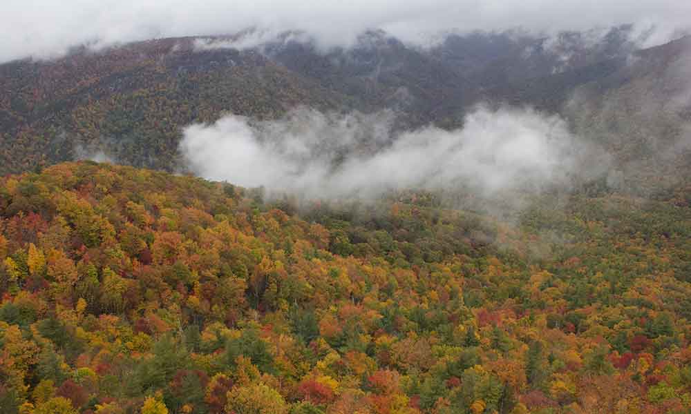
Conclusion
While it cannot be said with objective certainty that North Carolina is the best state for hiking in the United States of America, its winding mountain and forested trails are deserving of their world-class status!