The Ozark National Forest commonly referred to as the Ozark Mountains is located in northwestern Arkansas. It is not technically a mountain but rather a high region made out of a deeply dissected plateau. The Ozark Highlands Trail crosses the forest and, like any worthwhile hiking trail, will challenge the hiker, but just how difficult is the Ozark Highlands Trail?
The Ozark Highlands Trail is difficult. The elevation may change several thousand feet as you climb a mountain, typically along a ridge, before descending back to low-lying creeks. For most parts of the trail path, you have to deal with rocks, roots, and numerous slippery creek crossings.
The Ozark Highlands Trail has unfinished parts that require some bundu bashing to get through. These unbuilt trail segments can be a little harder to hike, and hiking in the summer months is a bit more difficult with lots of overgrowths and fallen trees obscuring the way.
Why Is The Ozark Hiking Trail Considered Difficult?
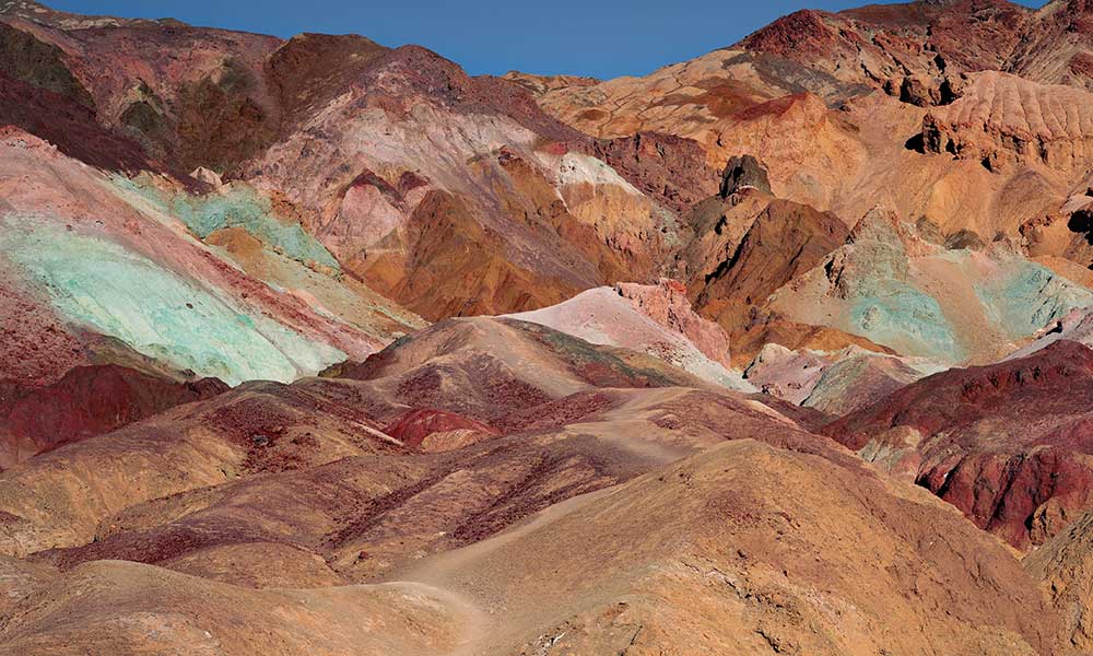
The Ozark Highlands Trail is the most scenic hiking trail in the middle-South. The Trail tread varies from rocks and roots, almost like a dried-up river bed, to soft pine needle bedding, depending on the time of year.
The Ozark Hiking Trail Terrain
Expect to climb some of the highest peaks in the Ozarks before exploring the beautiful valleys beneath it. The elevation found on the route may change several thousand feet as you climb and descend. The reward of climbing is the stunning views of the rolling hills of the Ozark Highlands.
A hiking trail through a forested area will always present a rough tread. The Ozark Highlands Trail is no different. As a hiker, you will follow a trail that can be super-rocky, mixed with tree roots and algae-covered slippery rocks in creeks and rivers that you need to navigate through.
The trail also has lots of big boulders, and making your way over or around it, is energy-sapping. Crossing bodies of water is something that you do quite frequently, and any misstep can result in injury, or taking an unplanned dip, so be sure to navigate the wet areas with caution.
When the water level is too high and the current too strong, there will be sections where you will have to hike a bypass route instead (Hurricane Creek springs to mind.) These alternative routes are not always as well maintained as the official trail and may involve some bundu bashing.
Seeing that you are mostly hiking through forests, expect some downed trees, with some hills and downhills to navigate (nothing serious.) The trail path can be quite slippery in autumn (with all the downed leaves), and the rocks are slippery due to moss and algae build-up.
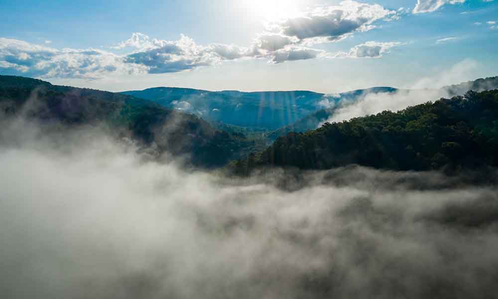
The Ozark Highlands Trail has a mixture of breathtaking sparkling springs, creeks, rivers, waterfalls, lakes, caverns, caves, and sinks on the hiking trail that make the trail a treat to hike but offer a challenge to all hikers when navigating through this perfect part of nature.
The maximum elevation is found while hiking Hare Mountain (approximately 2,400 feet) in the Boston Mountains part of the Highlands Trail. Elevated hikes take you to scenic lookout points, but they will take a toll on your body, so you need to be in pretty good shape before attempting a thru-hike of the Ozark Highlands Trail.
The Ozark Highlands Trail Association performs maintenance from September to May along the trail. You might think that the trail is neglected if you hike during the hot summer months.
The reason that the volunteers don’t do maintenance in the summer is due to the abundance of:
- Poison Ivy
- Ticks
- Snakes
Summer hiking means carrying more water on your person as water is not as freely available as in the autumn to spring months. A summer hike will be more difficult, as the overgrowth will present more of a challenge.
The Length Of The Ozark Hiking Trail
Ask any hiker about the hardest part of any hike, and they will say the total miles hiked. The longer a hiking trail, no matter the trail conditions, the more strain your body and mind will take.
Attempting a thru-hike of the Ozark Highlands Trail will bring you to just over 250-miles. That’s a lot of miles for the human body to endure. Physically the hike will take its toll on your feet, ankles, knees, and hips, resulting in fatigue, while mentally, such a long trail will challenge the mind.
Feet blisters can cut a hike short prematurely, and this trail is known for handing out a blister or two due to its testing terrain. It’s best to find a hiking shoe or boot that is made to withstand being constantly soaked with water, maybe something like the quick-drying mesh Salomon Ultra Mehari Hiking Shoes.
Breaking the Ozark Highlands Trail into smaller hike-able sections can make the overall trail easier on the body and mind. Should you plan a thru-hike, it’s best to take it slow, considering the challenging terrain that you will encounter along the trail.
Is The Ozark Highlands Trail Finished?
According to the Ozark Highlands Trail Association, the trail, upon completion, will stretch for 320-miles from Lake Fort Smith State Park (northern Arkansas) to where it connects with the trail on the Missouri border, north of Lake Norfolk (50-miles unbuilt trail.)
The National Park Service has not yet given the go-ahead for construction in the Lower Buffalo Wilderness, where the other gap in the trail exists. Currently, about 270-miles of the trail have been built.
The 50-mile unbuilt section in the Lake Norfolk region has people scouting possible routes, procuring easements, and construction should begin in a year or two.
The trail segments that are not yet finished can be difficult to hike through, as you would need to bundu bash through parts of it.
Sections Of The Ozark Hiking Trail
The following major hiking segments make up the Ozark Highlands Trail (West to East). The different sections can be hiked continuously or in sections. Some areas are undeveloped and will require a bit of bashing through the bundus.
Boston Mountains Section
The 164-mile trail (segment) was once considered the whole Ozark Highlands Trail. It starts at Lake Fort Smith and continues to Buffalo River. This difficult part of the trail passes through the highest elevation points (2,400 feet) and is considered the most scenic, more rugged part of the Ozark Trail.
Major trailheads on this route include:
- Lake Fort Smith
- White Rock Mountain
- Cherry Bend
- Lick Branch
- Arbaugh Road
- Ozone Campground
- Fort Douglas (Big Piney Greek)
- Fairview Campground
- Richland Creek Campground
- Woolum Ford
The best source of information on hiking this specific segment can be found inTim Ernst’s Ozark Highlands Trail Guide. A West map is available for the Lake Fort Smith to Ozone Campground (0-86 miles) section, and an East map covering the Ozone Campground to Woolum Ford (86 to 164 miles.)
You can buy both of these updated maps at ozarkhighlandstrail.com and be on the lookout for other helpful guides.
Buffalo River Section
The next segmented hike is a 43-mile that follows the Buffalo River from Richland Creek to Dillard’s Ferry (AR-14).
The Ozark Highlands Trail merges with the Buffalo River Trail and is commonly referred to as the BRT/OHT. This trail alternates between bluff tops with great views to low creek crossings.
Major trailheads on this route include:
- Woolum Ford
- Dave Manes Bluff
- Tyler Bend
- Grinders Ferry
- Zack Ridge Road
- Red Bluff Road
- South Maumee Road
- Spring Creek Road (Not to be confused with the Spring Creek trailhead in the Sylamore area)
- Dillard’s Ferry (AR-14)
- Jackson Ridge
- Log Wagon Gap
- Spring Creek
There is a 15-mile trail, mostly through the Lower Buffalo Wilderness, from the eastern side of Dillard’s Ferry to the Spring Creek trailhead that you will have to bushwhack.
This section of the Ozark Trail can be a little harder to navigate as you have to bundu bash your way through it. Be sure to purchase the OHT Route – Lower Buffalo Wilderness to guide you through the unfinished, bushwhack section of the Ozark Hiking Trail.
A handy book to have when hiking the Woolum Ford to Dillard’s Ferry (AR-14) is the Buffalo River Handbook by Kenneth Smith. The book includes over 150-miles worth of hikes, a history of the area, and invaluable campsite information on river and trail conditions.
Sylamore Section
The hike from Spring Creek trail to Matney Knob trailhead (on AR-341) is an estimated 32-miles.
Major trailheads on this route include:
- Spring Creek
- Moccasin Springs
- Cripple Turkey
- Brush Creek
- Matney Knob
For this part of the trip, a great guide is the OTH – North Map, which covers miles 164-253 (Buffalo River to Sylamore & Woolum to Matney Knob.)
Lake Norfolk Section
There are two available trails that you can use when hiking the Norfolk section of the Ozark Trail:
- Tracy Arm Section (Lake Norfolk Trail), which is about 13-miles.
- David’s trail totals 17-miles.
These parts of the Ozark Hiking Trail are still under development, and a proper map of the area remains in the works.
Conclusion
The Ozark Highlands Trail will challenge any hiker. The reward for facing the challenge is a scenic hike that will leave you happy after you have completed a section or the whole trail. Look after your feet on the hike, as the up and down nature and frequent water crossings can result in blisters.
Take it slow, and take in the beauty that the Ozark Highlands Trail offers to the willing hiker.
You can read more about hiking in Arkansas here.