The Continental Divide Trail (CDT) stretches from north to south across the US from Canada to Mexico for around three thousand one hundred miles. It winds through the states of Montana, Idaho, Wyoming, Colorado, and New Mexico. The trail was created by Congress in 1978 and is considered by many to be the best long-distance trail hiking in the world.
It takes between five and six months to hike through the remote Continental Divide Trail, depending on how fit you are. People usually hike from south to north. If you cover a steady twenty miles a day, you will finish it in five and a half months. The CDT trail is remote and at a high elevation.
Its name comes from the geographical feature, called the Continental Divide, that you follow along its length. Many of North America’s most famous rivers have their headwaters in the Continental Divide. Some end up flowing west to the Pacific while others head east to the Atlantic.
Does It Take Long To Hike The Continental Divide Trail?
A thru-hike, where you continuously walk the entire length, can take up to six months and is physically demanding because of the rugged terrain and weather changes. Most people don’t attempt it in one season. They break it into sections and complete it over the course of a few years during their vacations.
Several routes along the Continental Divide vary the hiking distance between two thousand seven hundred and three thousand one hundred miles. Hiking twenty miles a day along the shorter path takes approximately four and a half months, provided there are no rest days or delays due to unexpected weather or injuries. At least half of thru-hikers say they skipped small sections because of trail closures due to snow or forest fires or not wanting to walk along roads.
Many thru-hikers take a day off to rest now and then. The CDT offers few amenities, and hikers have to leave the trail to seek lodging and supplies in nearby towns. A thru-hike requires more planning because of the seasons and the weather. When hiking northbound, starting in New Mexico, they start the trail in April and end up at the Canadian border between August and September.
Starting too early could mean impassable heavy snow in the San Juan mountains in Colorado. Starting too last could mean battling heavy snowfall in the Glacier National Park at the finish. More daring hikers follow the southbound route beginning in June at the Canadian border and finishing in New Mexico between October and November.
The northbound section ends on the border between Montana and Canada, with the primary endpoint at Waterton Lake in Glacier National Park. However, there is another one at the Chief Mountain border crossing. The attraction of this one is you don’t need a passport because you don’t cross the Canadian border.
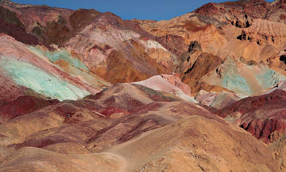
The CDT crosses a wide range of ecosystems and provides access to points of historical interest along the way. Ninety percent of the trail is on public land. However, permits are still required for backcountry camping in Glacier National Park, Rocky Mountain National Park, the Indian Peaks Wilderness, the Blackfeet Reservation, and Yellowstone National Park.
Colorado Section Of the Continental Divide Trail
More than one hundred and fifty smaller trails lead to the CDT in Colorado. Colorado holds around seven hundred and fifty miles of the trail and its highest point – Grays Peak at fourteen thousand two hundred and seventy feet. The lowest part of the trail is in Montana, with an elevation of four thousand two hundred feet.
The entrance point of the Colorado portion of the trail for northbound hikers from New Mexico is near Cumbres Pass, with an elevation of ten thousand and twenty-two feet. In the mountains of Colorado, much of the trail runs at or above the timberline at around twelve thousand feet. Forest fires and the fierce thunderstorms during July and August pose a hazard for hikers.
New Mexico Section of the CDT
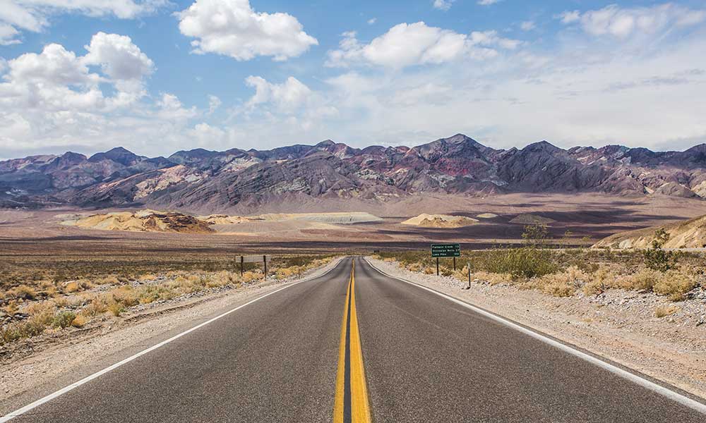
In New Mexico, there’s quite a lot of road walking, and the official route is around eight hundred and twenty miles. However, alternate routes may be shorter or longer. People hiking north typically start the trail in New Mexico at Crazy Cook Monument east of the Big Hatchet Mountains, but it is pretty remote.
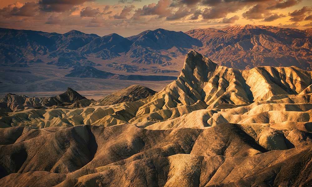
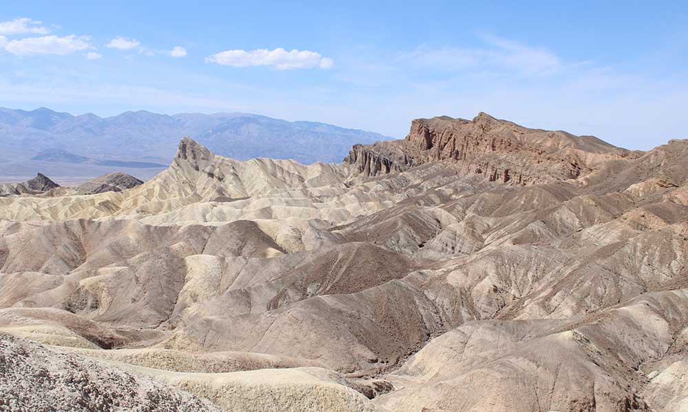
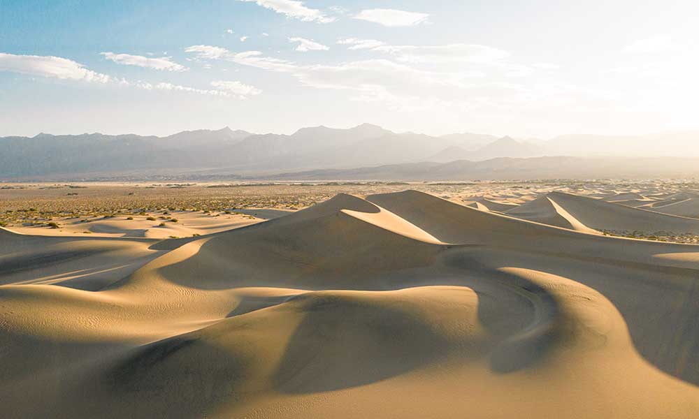
In the New Mexico section of the CDT, the lowest point is four thousand one hundred and eighty-nine feet in Lordsburg. The trail’s highest elevation for this section is eleven thousand three hundred and one feet at the top of Mount Taylor. The hardest part about the New Mexico section, apart from the climbing, is finding water because the trail crosses desert regions and mountains that don’t get much rainfall.
Wyoming Section Of The CDT
In the Wyoming section, the trail is five hundred and ten miles long, but there are several shorter routes. In Wyoming, a trail highlight is Yellowstone National Park at the end of this section, where the route runs past Old Faithful and the other geysers.
You enter Wyoming at Bridger Peak with an elevation of just over eleven thousand feet. Then you wend your way through Rawlins, the desert of the Great Divide Basin, South Pass, Wind River Range, Cirque of the Towers, Lester Pass, the Teton Wilderness to Yellowstone.
Water is scarce in some areas, and grizzly bears can pose a risk from the Wind River Range to Yellowstone. The Teton Wilderness is the most remote, almost nineteen miles from the nearest road. Cirque of the Towers is a popular spot for advanced rock climbers and is home to Pingora Peak.
The Idaho-Montana Section Of The CDT
The trail enters Idaho’s Centennial Mountains from Yellowstone along the Montana-Idaho border. This section of the CDT is one thousand and twenty miles long and ends in Glacier National Park. The trail passes through forested valleys, wide-open prairies, alpine meadows, and mountains. The many streams are full of trout.
Just over thirty-six miles of the trail runs through the Island Park District in Idaho. The terrain is rugged at higher elevations, and grizzly bears are common. The CDT can be accessed from Targhee Pass, Reynolds Pass, BLM Dillon Field Office in the Centennial Mountains, Red Rocks Pass, Caribou, and Aldous Lake.
Montana hosts the twenty-two-mile, spectacular, unbroken limestone cliff of the Chinese Wall in the Bob Marshall wilderness. Around one hundred and ten miles of the CDT runs through Glacier National Park in Montana, in which there is some of the finest scenery on the trail. Highlights include waterfalls, mountain lakes, and the Redgap, Piegan, Triple Divide, Pitamakan, and Dawson passes.
Conclusion
Thru-hiking the entire Continental Divide Trail takes between five and six months and is physically challenging because of its overall high elevation, unpredictable weather conditions, and remoteness. Hikers often have to rely on streams, rivers, and lakes for water, and staying hydrated can be a problem in dry regions. Most people don’t thru-hike the trail, preferring to explore it in sections.