The California Riding and Hiking trail is one of the longer trails in Joshua Tree National Park. This trail offers backpackers the option of a mini-thru hike, incredible views of amazing rock formations, and a remote wilderness camping experience.
Starting at the Black Canyon Trailhead and ending at the North Entrance, the California Riding and Hiking trail is 37 miles long with an elevation gain of 3,175 feet and takes about 2 to 4 days to hike the entire trail. It can be done as a point-to-point hike, but you must cache water along the trail and arrange a shuttle.
Preparing for your Hike
The California Riding and Hiking trail hike is relatively easy, depending on the terrain you must navigate. However, it’s a long hike, and the scarcity of water sources makes it grueling. Please ensure that you’re in top form before the hike. If you need to exercise to prepare, please do so as you’ll be carrying a sizable pack on your hike.
Getting your Permit
You do not require a permit to backpack on the California Riding and Hiking Trail. However, before starting your hike, you must register at one of the 13 designated backcountry registration boards. It allows you to preregister and not spend your hiking time trying to get a permit.
What to Bring Along
The most important thing on this hike is water. It would help if you had several water caches along the trail, as caching water could very literally save your life on this hike. Also, go along with pre-cooked food and snacks in adequate quantities.
You’ll need sun protection and protective clothing for this backpacking trip. Pack a good change of clothes, extra socks, and underwear. Hiking poles will come in handy because of all the walking you’ll do.
Because this hike is a point-to-point route, you’ll need two cars. One of which you have to keep at the beginning of the trail and the other at the end.
Hiking the California Riding and Hiking Trail Joshua Tree
The park has three entrances, but this trail is best hiked west. Start at the West entrance and end near the Northern entrance. The California Riding and Hiking trail starts at Black Rock Canyon Trailhead near the Black Rock Canyon Campground, five miles from Yucca Valley.
Here, you start a five and half-mile steady climb, the highest hill you’ll climb on the hike, which peaks at 5,173 feet. The trail descends gradually for two miles until you get to Eureka Peak/Upper Covington Flats Road, parking lot, and Backcountry Board.
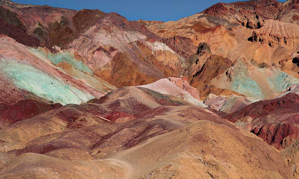
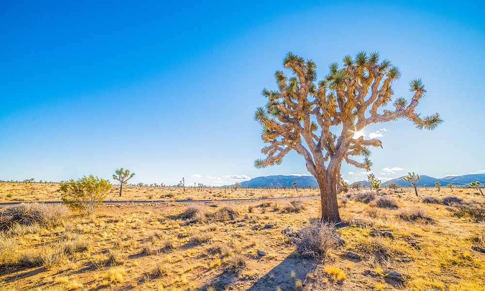
The Upper Covington Flats Trailhead is an excellent place to start your hike if you’re running late. From this point, the Upper Covington Flat Trail descends to Juniper Flats, littered with the famed Joshua Trees named Joshua Tree National Park. If you look north, you’ll see Quail Mountain. There are also interesting rock formations, and the trail makes its way down a valley floor, which you’ll hike through in this section of the hiking trail. The trail continues downward into Lost Horse Valley.
The next section of the hike starts at Keys View Road, which is a good water cache location and the first paved road you’ll see. It continues east to where the trail crosses Keys Valley to Ryan Campground. Sights include an old mining shaft south of Ryan Mountain. It continues for six miles to cross the Geology Tour Road.
The trail continues on descent for four miles to reach the Twin Tanks Trailhead, intersecting with Pinto Basin Road. Head east, and two miles down, a field of underwater rocks connecting the Sonoran and the Mojave Deserts. Continue north from here and pass a side trail on the left that leads to Belle Campground.
There’s a small hill overlooking Twentynine Palms, Oasis Visitor Center, and North Entrance Station, which you have to climb. From there, continue to the North Entrance Trailhead, where the trail ends.
Where to Camp on the Trail
There are eight campgrounds that the National Park Service operates here. Four of these, which include the Black Rock Campground, require a reservation. The other four operate on a first-come, first-serve basis.
It costs around 20 – 25 dollars to camp on any campgrounds. Please note that the Belle and White Tank Campgrounds are closed temporarily during the summer.
Outside the trail, there are excellent hotels in Joshua Tree where you can lodge. You also can camp for free on the Bureau of Land Management property outside the northern and southern borders of the park. However, these sites do not have any facilities, so you must come prepared.
Best Time to Hike the California Riding and Hiking Trail
Desert temperatures can go treacherously high or low, depending on the season. It’s not comfortable to hike the California Riding and Hiking trail during these periods. The best time to hike this trail is between November and March. During this time, temperatures are between 60 and 70 degrees and 40 degrees at night.
April and October are also good months to do this hike. The worst time to do this hike is between May and September when temperatures are at the highest. The high temperatures mean you’ll have to carry more than 1.5 gallons of water every day due to the high temperature.
Tips and Precautions
Some rules guide hiking in Joshua Tree that you’ll find helpful. They include:
- Backcountry camping is allowed in places 500 feet away from trails and water sources and one mile away from roads.
- Wear long pants to protect your legs as some sections of the trail are overgrown.
- Open fires are not permitted in the Backcountry, but you can bring a gas stove.
- Fires are not allowed in the northern half of BLM free campsites.
- Rodents and critters find it easy to chew through regular bags to get to your food; invest in an armored bag to store your food.
- Coyotes live in the park. Be aware of your surroundings.
Conclusions
A backpacking trip through Joshua Tree is an adventure; the key is to prepare adequately. You’ll find a mile marker in most places to help you keep track of distance. There are also trail markers that point the way. Remember that you can register at any of the backcountry boards even on the morning of your hike. Bring your camera for beautiful pictures, and don’t forget to have fun on your hiking adventure.