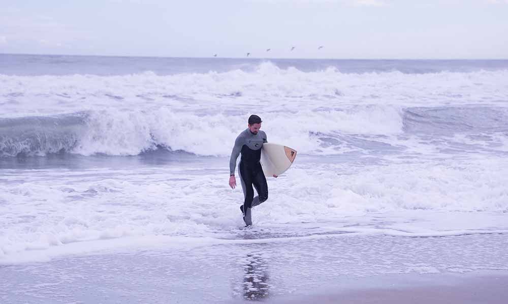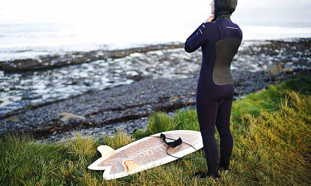
All surf is generated the weather.
Even the texture of waves in a wave pool are impacted by the wind despite them being generated by a machine.
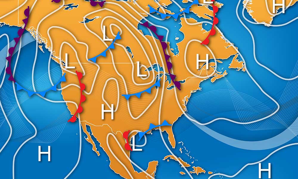
Which brings us to jet streams and their impact on the weather.
There are a total of 4 primary jet streams.
2 are polar jet streams that reside near the north and south poles.
The other 2 jet streams are closer to the equator. These are referred to as the polar jet streams and the subtropical jet streams respectively.
Jet streams can reach speeds of up to 275 miles per hour, moving weather patterns with them.
This can have a big impact on the waves we surf, the air temperature, and the water temperature.
What Are Jet Streams
Jet streams are narrow bands of wind with a strong force and flow at a fast speed all across the planet, moving from west to east and sometimes shifting to a north to south flow.
Earth isn’t the only plane that has jet streams.
Jupiter and Saturn also have jet streams which also move west to east.
How Fast Do Jet Streams Move?
The jet stream air currents have an average speed of 110 miles per hour.
In some cases, they can travel up to 250 miles per hour when the air masses are more dramatic.
They’re prone to traveling west to east every season because of the way the earth rotates on its axis.
They move at such a high and powerful rate that they can carry the weather with them.
Where Are Jet Streams Located?
Jet streams are located in the middle and upper part of the atmosphere, known as the troposphere, about five to nine miles above the Earth’s surface.
This is also where airplanes fly, which can cause them to fly in jet streams.
As a result, most planes flying west to east can travel at a faster rate than planes traveling east to west.
Jet streams are significant because they have the ability to influence our weather patterns throughout the year.
For example, it affects cool-season moisture in the state of California and affects summer fire conditions.
Meteorologists continuously monitor jet streams to predict the weather forecast each season.
They tend to shift and are often stronger in the winter months because the temperatures vary the most during this time between the Arctic and tropical air masses.
Why Is It Called The Jet Stream?
The jet stream got its name in 1939 when a German meteorologist called it “strahlstromung,” which literally translated to “jet stream”. He used the term in a research paper that he wrote.
A Japanese meterologist, Wasaburo Ooishi, originally discovered the jet stream. Ooishi relied on multiple weather balloons to track the movement of the jet streams that were present directly above Mount Fuji.
What Is Happening To Jet Streams?
The jet stream is currently changing due to warmer air that is currently present at the North Pole.
This is causing the jet stream to move northward.
However, it has also been found to move east to west, which is known as the zonal flow.
NASA scientists expect global temperatures to continue to increase in the coming years and for some seasons to start sooner in the year and last longer than normal.
These changes in temperature can have a direct impact on the jet stream and how it functions.
Why Does The Jet Stream Dip?
The jet stream occasionally dips during the winter season when the upper atmosphere starts to change direction and moves south to north.
It loses some of its strength during the summer season and goes north when more heat is present.
What Happens When The Jet Stream Moves South?
The jet stream has a pattern of moving south in the winter and pushes a lot of air mass around.
It can move a weather system to a new area and even prompt them to stall at times.
It also brings the colder masses with it, leading to cold air outbreaks when it dips south.
This causes the temperature to drop 20 to 30 Fahrenheit degrees lower than normal.
As the air mass starts to moderate, the temperatures begin to return to normal after a few days.