Surfing is an official, iconic Californian state sport. Surfing was introduced from Hawaii and originated from the Polynesian people. The Senate has recognized Californians’ significant contributions to the sport.
Surfing has recently become an endorsed state sport of California. Monterey is a county belonging to the state of California. The surfing experience offered by Monterey is unique to the surrounding Californian coastline. The surfing spots in Monterey elicit sensations of far-reaching adventures.
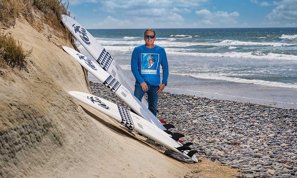
Surfing is integral to the culture of the Golden State, and California is the home of the wetsuit. The Californian coastline is a rapture of incredible landscape and outstanding surf. Monterey County is epic, raw, and lovely.
Monterey County, CA, is a Unique Surfing Spot
Monterey peninsula offers an otherworld surfing experience. All the intrinsic features of Monterey generate sensations distinct to the general Californian vibe. Visiting this county is transportive.
The sudden transition between Santa Cruz and Monterey is nowhere else on the Californian coastline. The plant life, rocks, clarity of the ocean, and even the sky present a place far removed.
The Monterey peninsula is a world-class stretch of coastline, and this county has many surfing spots. The vast beauty of the scenic beaches has reliable waves. The Monterey surf accommodates both beginner and expert surfers.
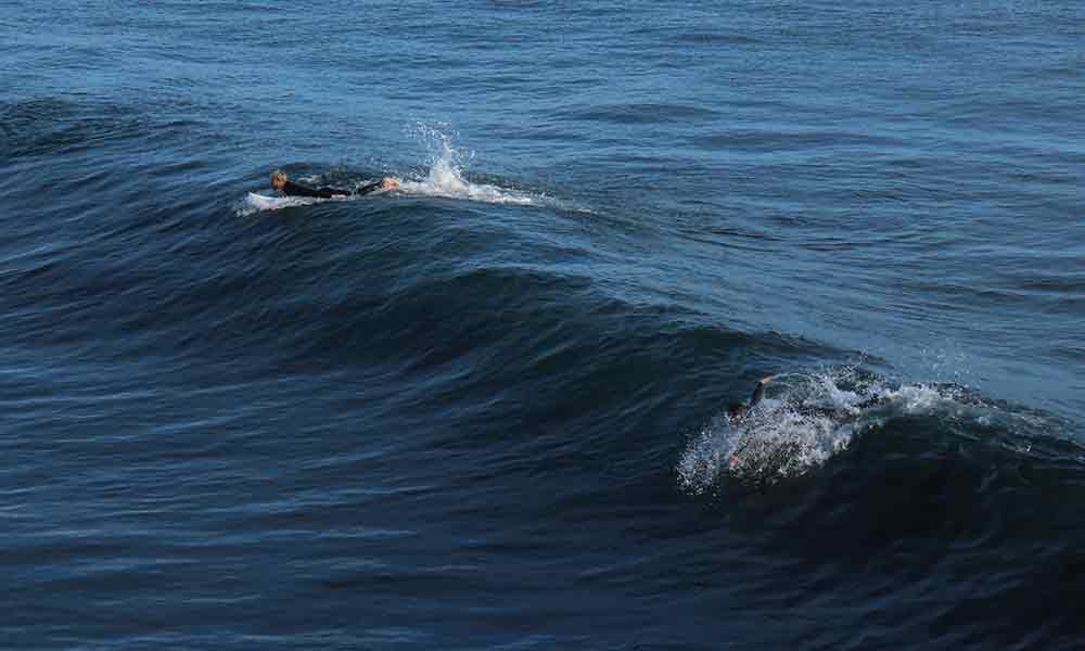
The surf can be immense and powerful, so be conscious and cautious. Beginner surfers can inquire from locals and local establishments about the best surf options for more gentle waves. Perhaps Del Monte Beach with its shallow waters.
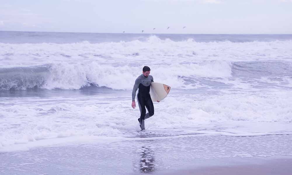
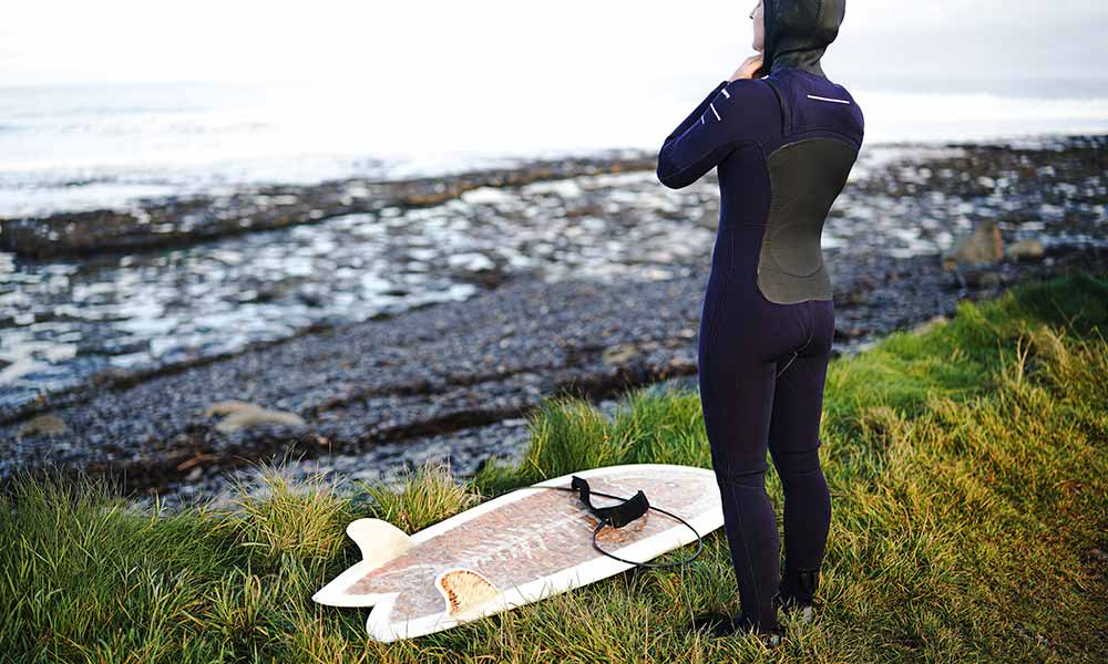
Experienced surfers swarm to Lovers Point, Big Sur, and Asilomar Beach. Intermediate to advance surfers are recommended for Carmel beach. The climate of Monterey is mild, and the water is cold throughout the year. Wear a wet suit if you intend on staying in the water for longer than an hour.
Monterey’s Asilomar Beach
Asilomar beach is a thin, one-mile area of sandy beach and frequent cropping of rocky landscape and white, enchanting dunes. Asilomar has its etymology in asylum or refugee by the sea. It derives from Spanish asilo and mar.
It’s more suited to experienced surfers. This surfing area deserves respect, as it has a rocky bottom and severe rip tide. Surfers also risk an encounter with sharks. Asilomar is a popular area, and many people in the waves could draw sharks.
Asilomar is an exposed beach unprotected from open ocean and winds; it has consistent, cold, clean, clear waves throughout the year. Ideal winds are from the southeast. The surf is unpredictable, and seasoned surfers enjoy this feature.
The characteristic cold of the Asilomar Ocean is due to its open, unprotected position and the surging cold water from Monterey Canyon. This submarine canyon directs freezing water to the shores end of Asilomar’s beach.
The Asilomar Coast Trail extends for ¾ mile and is available to pedestrians and dog walkers. Cyclists frequent the paved road beside the trail, which cuts through the dunes.
Asilomar Marine Reserve is a Marine Protected Areas (MPA). California MPA is from the 1999 legislation (Marine Life Protection Act) that acknowledges California’s coast and wildlife’s identity, heritage, and inherent wealth. MPA safeguards even Asilomar’s shells.
Monterey’s Big Sur
Big Sur’s breathtaking beauty is dramatic, with its staggering, mountainous stretch along the shoreline. This precipitous reach is due to the sudden rise of the Santa Lucia Mountains from the Pacific Ocean. It is found on the southern edge of the Redwood Forest.
The entire Big Sur coastline belongs to the Monterey Bay National Marine Sanctuary. The name derives from Spanish- el pais grande del sur– big county of the south- Big Sur. It’s 71 miles of untouched, rugged expanse from San Simeon in the south to Carmel in the north.
Despite the 71 mile stretch of shoreline, there are only a handful of viable surfing spots. These surfing spots include Pfeiffer Beach, Andrew Molera State Park, Willow Creek, and Sand Dollar Beach.
Andrew Molera State Park
Andrew Molera Beach is situated in the northwest terminal of an extended fishhook-shaped beach. As the landscape arcs into the shore, a perfect surfing space is created at the exact moment that allows western swells to strike up and navigate the surf.
If conditions allow the tide to garner power and the wind is offshore, the consequence is a neat, solid barrel, one of the surest of Big Sur. Generally, Andrew Molera offers accommodating, pleasant, and broad waves.
The tide does become forceful and erratic, with aggressive currents and determined rip tides. There is also a problem with sharks who patrol the Monterey coastline.
Sand Dollar Beach
Sand Dollar Beach is one of Big Sur’s ultimate surfing spots. It is a u-shaped bay and is popular amongst surfers. The cove protects against the wind, and it’s the most extended, uninterrupted sweep of sand in Big Sur.
Sand Dollar Beach’s crescent-shaped oceanfront has a significant gathering of rocks at the southern terminal of the beach, which boasts minerals like jade and serpentine. If you intend to seize pieces of jade, remember that there are regulations.
Sand Dollar Beach is several miles from Limekiln State Park. It attracts many tourists. However, the rowdy waves and intense currents make swimming hazardous.
It is considered a dream by many surfers. Paddle out alongside the rock-strewn area, close to the creek channel, and allow the rip currents to assist your ride. The tide is strong, and sizeable waves with promising tubes characterize the surf.
Willow Creek
Willow Creek is a few miles south of Sand Dollar Beach; however, in comparison, the waves of Sand Dollar Beach are friendlier and more rideable. Willow Creek is robust and relatively more aggressive, yet not as erratic as Sand Dollar Beach.
There is a significant amount of kelp submerged in the water. Take care not to get tangled. The waves can unpredictably and suddenly reach substantial heights, and the solid riptides and sharks make the water dangerous.
Willows Creek is divided, with large beachbreak / boulderbreak rocks in the front of the surf near the entrance to the parking in the south. In the north, a left reef continues into a cove.
Surfing in the northern cove area is suited for advanced surfers, where waves can grow to six feet, the tide can sweep a person for ten feet stretch. The boulders to the south break the tide.
Monterey’s Carmel Beach
Carmel’s iconic beach has fine, white sand, crystal-clear water, and cypress trees lining the scene. The tide is occasionally assailed by rip currents and rogue or sleeper waves. Lifeguards don’t protect the unpredictable surf. Maintain vigilance.
Carmel Beach is the immediate and primary area for surfing in the Monterey Peninsula. A direct westerly orientation characterizes the region, maintaining an intense and powerful surf and significant swells over autumn and winter. Offshore winds blow from the east.
Carmel beach is suitable for intermediate to advanced surfers. The location is safeguarded from the open ocean, and the tide is subjected to occasional rip tides, which are very hazardous. It’s advisable to surf only once the wave reaches just below the waist.
Carmel Beach does have days well suited for beginner surfers; therefore, do a bit of research on the wind, weather, and tide. Beginner and intermediate surfers will thrive when long, arcing waves break within the bay.
Carmel Beach has a surfing school that has been open since 1986. The Original Surf School offers private one-on-one lessons, considering your personal experience in the waves. Every session provides fitted wetsuits and a customized soft-top surfboard.
Past prime surfing conditions reported a west swell combining with an offshore wind direction from the east. Groundswells are more regular than wind swells, and the ultimate swell slant is from the west. The beach break forms left-and-right handers. The sweetest waves are found during the middle tide when the surf rises.
The changing current constantly determines the area from the beach to the tide. Point Lobos is to the south, and pebble beach is to the north. The state of the water and the waves can change drastically and suddenly. Be wary of rocks, that although found in deep waters, can cause significant harm.
Carmel beach is famous for its sunsets, and surfers are frequently seen dotting the tide, taking a moment, and drinking in the sheer beauty. Don’t mix up Carmel beach for Carmel River Beach.
Monterey’s Del Monte Beach
Del Monte Beach is exposed to the open ocean and exhibits consistent waves throughout the year. Predominantly, the waves arrive from groundswells, and the better swell direction is from the northwest.
Winter is the preferred time to surf, and the tide performs best when driven by offshore winds from the south-southeast direction. The ultimate conditions for surfing happen when a northwest swell interlaces with an offshore wind direction from the south-southeast.
Del Monte Beach is situated within the boundaries of Monterey State Beach, and it is hidden away west of Del Monte Avenue. Del Monte Beach is a concealed gem that many local surfers prize. The identifiable dunes of Monterey surround the beach.
Monterey’s Ghost Trees
Ghost Trees is named after the bone-white, contorted, and knotted great Monterey Cypress trees. It is found on Pebble Beach, and its tide breaks on the rocky shore of Pescadero Point.
During intermittent and infrequent winter occurrences, particular westerly angle waves concentrated at the deep Carmel Canyon rise to 60 feet high. Ghost Trees’ massive waves are the most dangerous wave globally.
These immense waves are slab-shaped, have massive boils, and the fierce currents heighten their precarious quality. The extensive submerged Bull-Kelp seaweed is potentially suffocating, and the intricate network of rocky underwater landscapes focused in the impact zone could prove fatal.
Ghost Trees is a sacred spot for local Californian surfers, many of whom wish to maintain its secretive, legendary status. A surfer died in Ghost Trees on December fourth, 2004, his unconscious body floating aside his surfing companions.
In March 2009, personal watercraft (jet skis) was banned from Ghost Trees, as it belongs to Monterey Bay National Marine Sanctuary. Unfortunately, Ghost Trees is now well-known that the once sacred Californian space is exposed and marred.
Monterey’s Lovers Point
Lovers Point is relatively exposed to the open ocean, with a point break that offers only occasional protection. Winter is the preferred time to surf, from September to May. There are rideable swells with light / offshore winds during this time, particularly over December.
Southern offshore winds generally determine the tide. The ultimate swell route is from the northeast, and with it, there is a left-hand point break. Groundswells are more regular than windswells.
There is a scattering of rocks and kelp, which could be dangerous. Fierce currents and rip tides mark Lovers Point, so caution is advised. It isn’t typically a popular location.
Lovers Point’s beginning stretch of surf comprises several left points that advance to the top of the peninsula. The beach is the initial point for the Kelp Crawl section of the Triathlon at Pacific Grove.
Monterey’s Moss Landing
Moss Landing is one of California’s ultimate beachbreaks. Surfing during winter is awe-inspiring- as the offshores rush out from Salinas Valley and collide with the western swell.
Immediately beyond offshore, deep beneath the electric blue tide, Monterey Canyon falls to a depth of over a mile. That mile-deep canyon contributes to the intrinsic character of Moss Landing’s wave.
The swell that strikes Moss Landing comes from the vast depth of Monterey Canyon, which the continental shelf hasn’t hindered. The outcome is potent and frequently infuriating beachbreaks for surfers.
Escaping the tide in Moss Landing is unlikely, and there is always the threat of receiving a total body battering from a triple over-head wave. Moss landing is an intense surfing spot that demands respect, especially over winter.
Moss Landing is for seriously advanced surfers searching for challenging waves. The surf calms down as it neighbors the jetty to the south and is increasingly more aggressive closer to the north toward Monterey’s characteristic dunes.
Monterey State Beach
Monterey State Beach is a friendly space for surfers. Water recreation is explored in all forms, from kayaking, scuba diving, and swimming. As a surfer, be mindful of others enjoying the surf.
Monterey State Beach is welcoming and is the largest beach belonging to Monterey. It has delicate, soft sand that calmly shelves into the bay, and this is one of the safest beaches for paddling, enjoyed even by infants.
Conclusion
Monterey County in California invites both tourists and locals to engage with the stunning white-dune landscape. Monterey comprises inherent otherworld promises of adventures waiting on the crests of the shark-ridden, rock-strewn tide. A handful of enjoyable surfing bays offer viable waves. Exercise caution, stay informed, and be safe.
Some beaches present more powerful tides, and others are cleaner and neater. Big Sur is rocky and primarily isolated and offers waves suited to advanced surfers. In contrast, Del Monte and Monterey State Beach is gentle and welcoming better for beginner surfers. Some spots are legendary, like the myth-defying Ghost Trees.