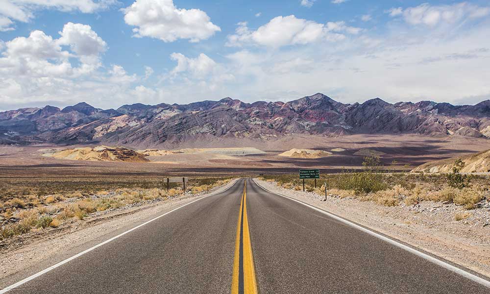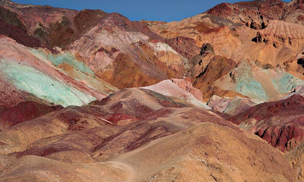
California is a hiker’s paradise. The Sunshine State is home to more National Parks than anywhere else in the US, offering hikers thousands of acres of unspoiled nature to explore. Many of California’s hiking trails are world-famous for the waterfalls, mountains, and lakes they lead hikers to. There are also countless less-known trails that are just as breathtaking.
Yosemite National Park has loads of hiking trails, long and short. There are many coastal hikes, like the Lost Coast Trail. The Joshua Tree National Park has some amazing desert hiking trails. The hiking trails around Lake Tahoe are well worth exploring, as is Mount Shasta-Trinity National Forest.
This article features some of the most popular hikes in California, in no particular order, as well as some less-trafficked trails.
John Muir Trail
The John Muir Trail – one of the most legendary hikes in California – is amongst the greatest long-distance hikes in the world.
With a distance of 211 miles, the John Muir Trail is the longest hiking trail in California. It usually takes hikers between 3 and 4 weeks to complete.
This point-to-point hike is in the Sierra Nevada mountains. It starts in the majestic Yosemite National Park. Hikers pass through Ansel Adams Wilderness, Sequoia National Park, and King’s Canyon National Park.
The John Muir Trail ends on a (literal) high point – summiting Mount Whitney. This is the highest peak in the continental US, so climbing it is an endeavor in itself.
This hiking trail is not for the faint-hearted! It takes a lot of preparation and planning, and to get a permit, one must book up to 6 months in advance.
You can always hike sections of the John Muir Trail. The best sections are:
- Yosemite Valley to Tuolumn Meadows – a 20-mile hike that takes 3 to 4 days.
- Tuolumne Meadows to Devils Postpile – this 34 -mile hike passes some gorgeous lakes and takes 2 to 3 days.
- Kearsarge to Whitney Portal – this 49-mile hike takes 5 to 7 days and ends at Mount Whitney.
Nevada Falls Trail
The Nevada Falls Trail in Yosemite National Park is one of the most epic day hikes in the US. If you want stunning views of two of Yosemite’s most beautiful waterfalls, this challenging hike is for you.
This trail is a 7-mile out-and-back hike that takes about 6 hours to complete. It is a tough trail as hikers must contend with an elevation gain of 2000 feet.
Nevada Falls is an impressive 594-feet high, and en route to it, hikers pass the equally magnificent Vernal Falls. The views from the tops of these waterfalls are like no other.
Half Dome The Mist Trail
The Mist Trail is another incredible hiking route in Yosemite National Park. Yosemite is world-renowned for its giant granite rock formations. This trail takes hikers up the famous Half Dome rock-face.
The Mist Trail to Half Dome is 16 miles long, but it has an elevation gain of almost 5000 feet. It generally takes hikers about 10 to 12 hours to complete the trail, and many start as early as 2am!
Starting at the Happy Isles Trailhead, hikers trek up the narrow gorge of the Merced River. There are granite steps that ascend up Vernal and Nevada Falls. As hikers climb the steps, they are sprayed by the mist of the crashing falls. This is what gives the trail its name.
At the top of Nevada Falls, there is a turn off to Half Dome. The ascent of Half Dome is grueling and involves some safety cables, but the views are totally worth it.
The Four Mile Trail
The Four Mile Trail is another challenging day hike in Yosemite National Park. This trail is not as short as its name suggests. It is an out-and-back trail that is 9.6 miles long and takes a whole day to complete. There is a 3200-foot climb from the floor of the Yosemite Valley up to Glacier Point.
This strenuous hike is perfect if you want to see all Yosemite’s most famous sights in one go: Yosemite Falls, Sentinel Dome, El Capitan, and Half Dome. The Four Mile Trail leads you through stunning old-growth forest, and the vistas from the top of Glacier Point are incredible.
Gray Butte Trail
Mount Shasta is an iconic Californian landmark. This snow-capped mountain is actually an inactive volcano. The Gray Butte Trail takes hikers to the summit of this 14000-foot-high mountain.
The Gray Butte Trail is a 3.5-mile out-and-back trail that usually takes hikers about 3 hours to complete. It is a moderately challenging trail with an elevation gain of 750 feet. The great thing about this trail is that you can bring your dog with you (provided they stay on their leash).
The trailhead is at Panther Meadows Campground in the Shasta-Trinity National Forest. The trail takes hikers through magnificent old-growth forest and up to the Upper Peak of Mount Shasta. The panoramic views from the summit are often described as spiritual.
Lost Coast Trail
If you want to experience one of the wildest, most remote parts of the California coastline, the Lost Coast Trail from Northern Mendocino to Humboldt County is for you! It is rated as one of the most beautiful coastal hikes in the US.
The Lost Coast Trail is a 25-mile point-to-point hike in northern California’s King Range National Conservation Area. It takes hikers about 3 to 4 days to complete.
Hikers have the option of walking it either north to south or vice versa. At the end of the trail is a convenient shuttle to take you back to your vehicle.
Timing is of the essence on the Lost Coast Trail. Hikers must plan their days around the tides because at high tide, the trail is engulfed by waves crashing against the sheer cliffs. This makes for very exciting hiking indeed!
McWay Waterfall Trail
Julia Pfeiffer Burns State Park in Big Sur is home to the McWay Waterfall Trail. If you are looking for a quick and easy hike to one of the most photographed sights in California, the McWay Waterfall Trail is for you.
This short and sweet hike along the stunning Big Sur coastline is only 1.2 miles long. It is an out-and-back hike that only takes around 30 minutes to finish.
The ocean views on the McWay Waterfall Trail are phenomenal, and hikers often spot whales during their migration season.
Mount Woodson Trail
Mount Woodson, near Lake Poway, is a 3000-foot mountain that is well-known for its huge granite boulders and strangely shaped rocks formations. The most famous of which is Potato Chip Rock.
The trail to the summit of Mt. Woodson from the Lake Poway parking lot is a 6.6-mile hike that usually takes between 4and 6 hours to finish. This is not an easy trail! It is rated as 4/5 for difficulty. Hikers must climb 2000 feet in just 3 miles!
The views from Mt. Woodson’s summit are breathtaking. You can see the city of San Diego below.
Skyline-to-the-Sea Trail
The Skyline-to-the-Sea Trail in the San Francisco Bay Area is rated as one of the best long-distance hikes in California. You walk from the top of the Santa Cruz Mountains all the way down to the Pacific Ocean.
It is a 3-day, 30-mile point-to-point hike. The trailhead is in the Castle Rock State Park, and the trail continues on to Big Basin Redwoods State Park and down to the coast at Waddell Beach.
The trail features groves of ancient giant redwoods, majestic creeks, waterfalls, and just about everything you could wish for on a Californian hike.
Although the distances each day are far, the trail itself is relatively easy. The trail goes downhill for most of the way, so it is perfect for first-time backpackers.
There are some side hikes you can do along the way. Trails branch off to Berry Creek Falls, and there is the Redwood Loop.
The campsites along the way are Waterman Gap Trail Camp and Jay Camp. The sites are well maintained and there are hot showers, flushing toilets, and snacks available.
Boy Scout Tree Trail
Jedediah Smith Redwoods State Park, near Crescent City, is home to see some of the world’s finest redwood scenery. On the Boy Scout Tree Trail, you will feel as if you have stepped into Jurassic Park.
It is a 5-mile out-and-back hike that generally takes people about half a day. You will want to stop along the way for photos and to take in the fantastic scenery. Along the trail, you experience a range of different redwood ecosystems and enjoy the peacefulness of the forest.
The end of the trail is at Fern Falls, a relatively small waterfall on the forest edge. A far more impressive stop along the way is at the Boy Scout Tree, a giant double-trunked redwood. It gets its name because the shape of the trees resembles the two-finger Boy Scout salute.
49 Palms Oasis Trail
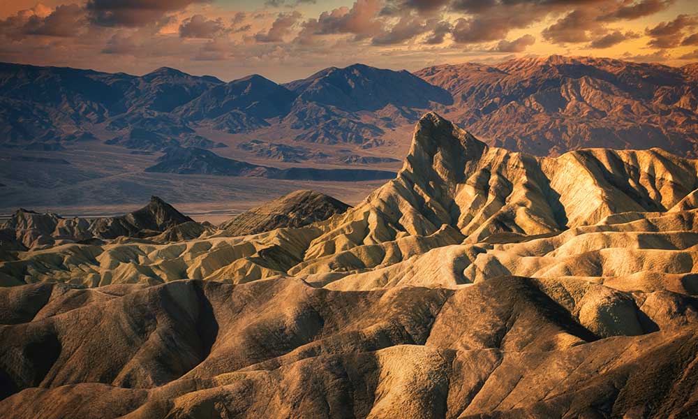
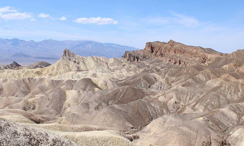
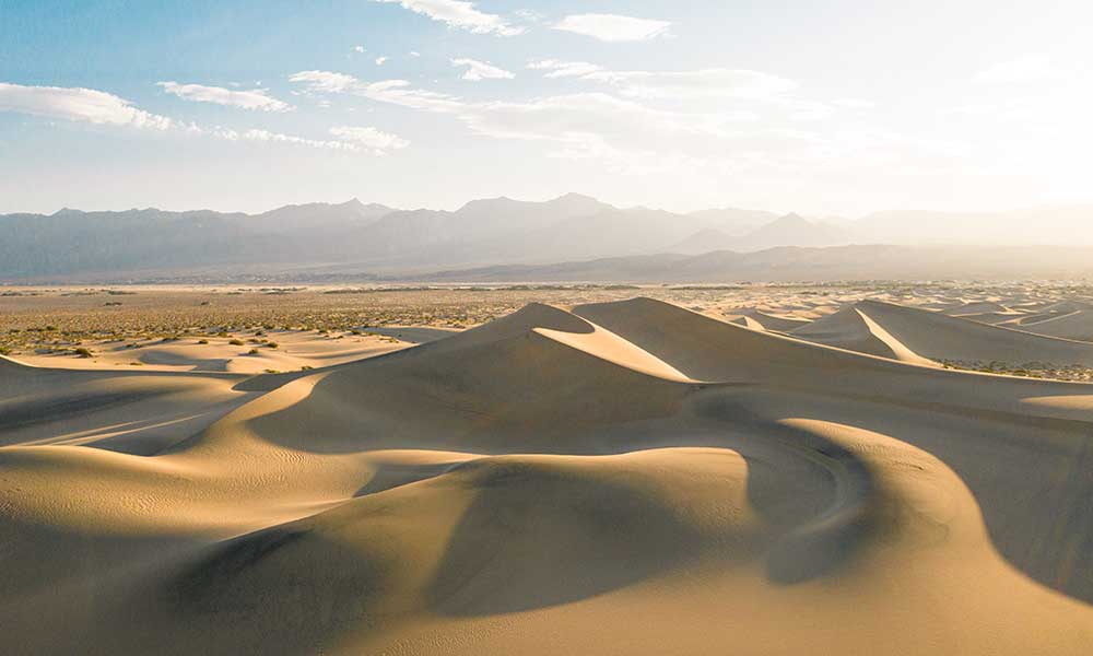
To experience the magical Mojave Desert, one must visit the Joshua Tree National Park in southern California. In this harsh desert landscape are small pockets of green – oases!
The most famous of these oases is the 49 Palms Oasis. To get there, you have to take the 49 Palms Oasis Trail. This is a 3-mile out-and-back hike that usually takes around 2 to 3 hours to complete. The trail is relatively easy but be prepared for a steady incline of 700 feet along the route.
Even though it is a short trail, conditions in the desert are extreme. There is zero shade along the way to the oasis. One has to take along at least a liter of drinking water to stay hydrated, and it is important to bring sun protection. Do this hike at sunrise, the coolest part of the day.
Once you reach the tranquil oasis, you can enjoy the unique plant life and wildlife. Bighorn sheep love to come to this watering hole. In the shade of the towering fan palms is the ideal spot for a picnic.
This trail is very well maintained, and there are ablution facilities at the trailhead. Because this trail is quite close to the city, one has to get there early to beat the crowds. There is a large parking lot at the trailhead, but it can quickly fill up on busy days.
To access the 49 Palms Oasis Trail, one does not have to pay the park entry fee for Joshua Tree National Park because the trail is outside of the park’s main area.
Rubicon Trail
The Rubicon Trail is a gorgeous hike along the shoreline of South Lake Tahoe. The trail connects the D.L. Bliss State Park to the Emerald Bay State Park – two of California’s most majestic parks. It can be done as a 5-mile point-to-point hike or a 10-mile out-and-back hike.
This hiking trail is not very strenuous (only a 400-foot elevation gain), and there are lots of opportunities along the trail to rest and even go for a swim. This is the perfect trail for people who are training to get hiking-fit.
The trailhead in D.L. Bliss State Park is at the parking lot for Calawee Cove Beach. The trail is very well maintained because of how heavily trafficked it is.
For most of the way, you hike along the coast of the lake, past beautiful forests and mountain vistas. There are some footbridges and walkways to help you over uneven sections of the trail. There are also tons of lookout spots and places to enjoy a picnic.
Fern Canyon
If you are anywhere near the Prairie Creek Redwoods State Park, you must hike the Fern Canyon Loop Trail. It’s like stepping back into the Jurassic Period. In fact, it is where the movie Jurassic Park 2 was filmed, and the BBC series Walking with Dinosaurs.
This is a 1-mile loop trail with an easy elevation gain of 150 feet. This is the perfect hike to do with children.
The sheer sides of the 50-foot-deep canyon are covered in a diversity of lush ferns, and you can enjoy ancient old-growth redwood forests.
There is an $8 entrance fee to access the State Park. Take cash – credit cards are not accepted!
Conclusion
Hikers in California are spoiled for choice when it comes to world-class trails. There are trails for everyone. Hopefully, this guide to some of the best and most popular trails in California helps you plan your upcoming adventures in the Sunshine State!